20 January 2016: I completed my triple play of National Parks: After Grand Canyon (Sunday & Monday) and Bryce Canyon (yesterday), I visited Zion National Park today. (And I mustn't forget Shenandoah National Park, one week and a few thousand miles behind me.) Zion is another extraordinary place. It comprises two canyons -- Zion and Kolob -- with a plateau between them. I explored Zion Canyon today. Unlike Grand Canyon and Bryce Canyon, where the main tourist infrastructure (Visitor Centers, access roads, outlook points) is on the respective rims of the canyons, one drives along the floor of Zion Canyon. There are trailheads along that road, offering hikes of all levels of difficulty.
I started with a hike from the Grotto toward Angels Landing. The lower part of that trail is moderately steep and easy (the "trail" is actually paved). The upper part is a different matter: No longer paved, it follows a steep, narrow ridge to a lofty summit. That section of the trail is equipped with chains for security, but it remains a challenging trail, especially when (as today) there is snow and ice on the trail. I bought a pair of traction attachments for my shoes this morning at the Visitor Center, but I decided to stop at that midpoint; I didn't feel comfortable with the final ascent on a slippery trail. I must acknowledge, though, that others on the trail were continuing to the summit.
After the Angels Landing trail, I continued up the valley to the Temple of Sinawava, where the road ends. From there, one can walk along the easy, level Riverside Walk for about 30 minutes. The trail actually continues, but in the river. That's not a winter hike! This is an interesting hike, as the canyon narrows dramatically as one progresses upstream, for geological reasons that are well explained on panels along the trail.
Finally, returning down the valley, I stopped to hike up the short Weeping Rock Trail, which ends at a rock alcove with water from springs within the rock dripping down the cliff.
And that concluded the tourism of my road trip. Leaving Zion, I pointed the nose of the car toward Los Angeles. It's now the homestretch (la dernière ligne droite)! I drove as far as Las Vegas, hoping to find a motel on the western side of the city. There were no motels in sight along that section of I-95, so I continued on to Primm Valley, on the Nevada/California border, where I got a room at the Buffalo Bill's Casino Resort. That's not so absurd as one might guess: The room is quite cheap (under $50), because, of course, casinos want to attract people and make money from their gambling. However, they're getting nothing more than the price of the room from me!
Tomorrow's destination: Malibu, California.
* * *
Driving up Zion Canyon, beside Virgin River:
The hike on the Angels Landing trail:
The tricky bit begins after this sign:
I was fascinated by this rock, which is perched improbably on a near-vertical slab of rock directly above the Angels Landing trail. It appears ready to roll down the hill at any moment! I encountered a park ranger near that point and asked him about it. He had not previously noticed the rock, but he noted that fragments of the cliff face do break off and fall occasionally; it's a natural process. He'll probably keep a close eye on this one in the future!
The area around the Temple of Sinawava:
The Riverside Walk upriver from the Temple of Sinawava:
The area around the Weeping Rock Trail:
The weeping rock:
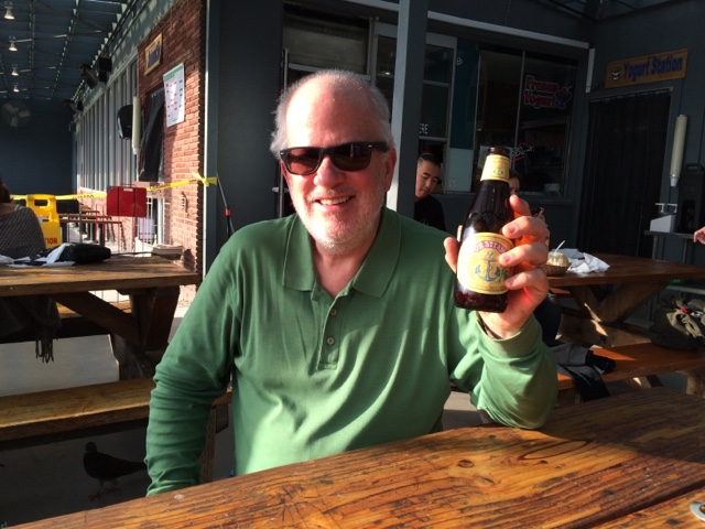
And now for something completely different...